More on FOSS4G Europe 2024
Open Source Geospatial Foundation (OSGeo) organises the event to foster collaboration, data sharing, and, most importantly, the advancement of open standards.
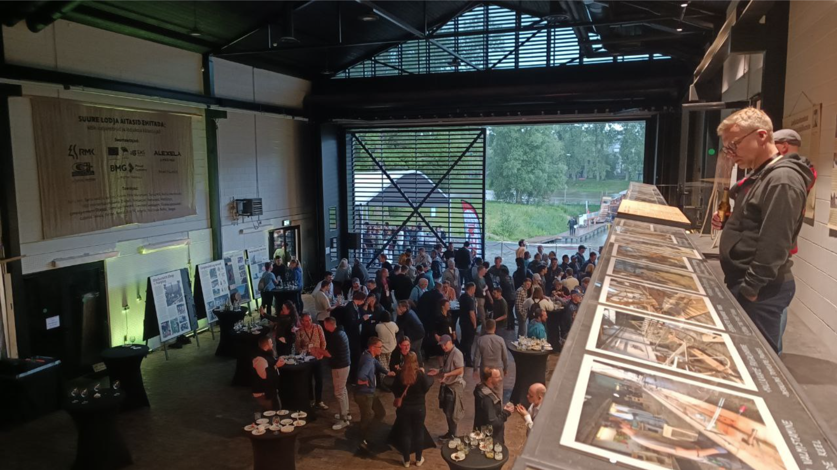
The conference was held in Tartu, the second-largest Estonian city recognised as the European Capital of Culture 2024. This made it an ideal backdrop for discussions on cultural and technological intersections.
No worries if you couldn’t have made it to Tartu this July! The “Free and Open Source Software for Geospatial” conference is an annual global conference held in a different city each year since 2004. Check out the FOSS4G page and keep an eye on the next event announcement so we can meet you there!
Who Are The Organiser OSGeo?
The not-for-profit organisation's mission is to foster global adoption of open geospatial technology by being an inclusive software foundation devoted to an open philosophy and participatory community-driven development.
OSGeo actively supports the global GIS community by offering educational programmes, organising open-source outreach events, and supporting UN migration to Open Source Geospatial software solutions!
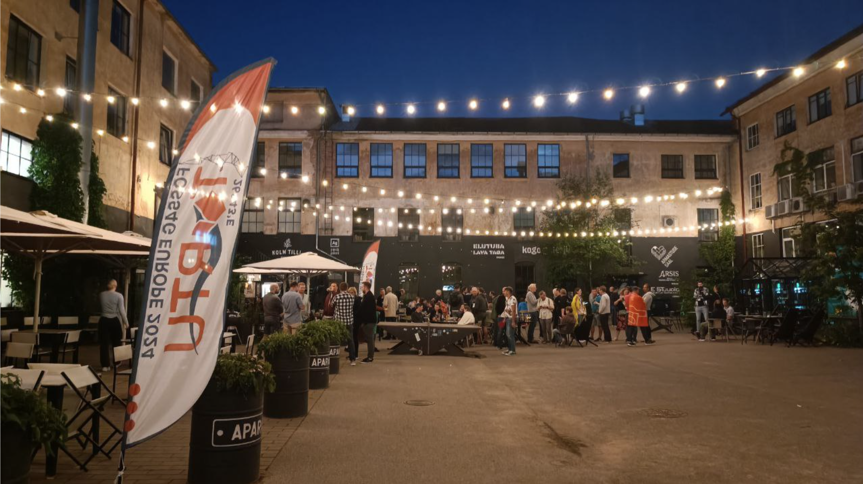
Speckle at FOSS4G Europe 2024
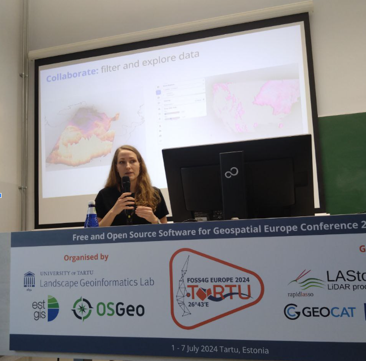
One of the standout presentations was by GIS Software Engineer Kateryna Konieva, Ph.D., representing Speckle.
As a platform that facilitates the effortless transfer of data across various design and analysis tools, Speckle offers a great advantage when used on GIS projects. Kateryna was set to point that out to her community in Tartu.
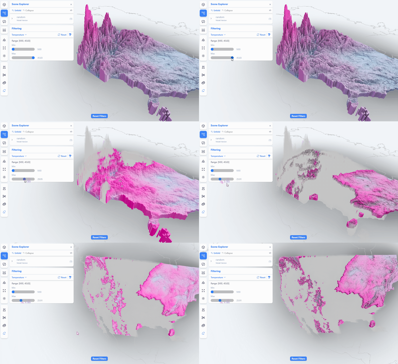
Kateryna’s talk focused on:
- Speckle as a data hub for AEC and Geospatial data: Despite differences between the industries, Speckle infrastructure allows for a variety of data representations and workflows.
- Integrating GIS, CAD, and BIM Data: Speckle’s unique approach enables efficient data management, bridging gaps between data types and platforms.
- QGIS Plugin: Kateryna highlighted how Speckle’s QGIS plugin can transform workflows, making it easier to align GIS, CAD, and BIM data, simplifying technical challenges like switching between coordinate systems and 2D/3D representations.
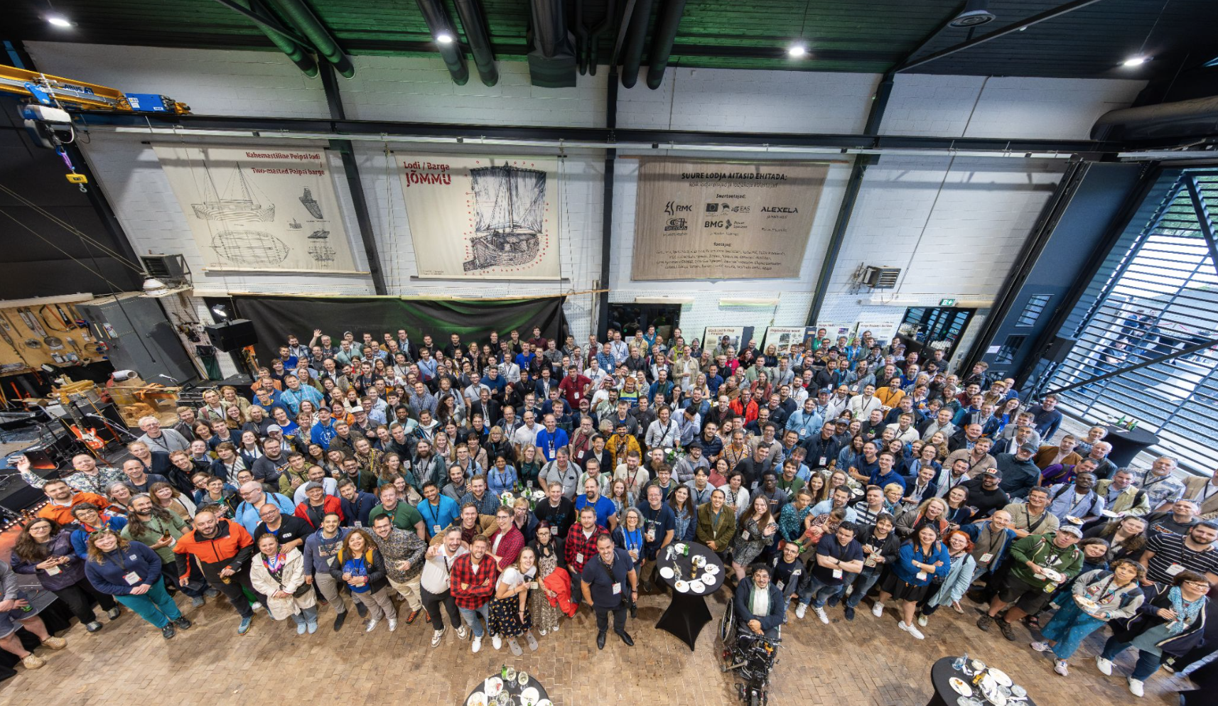
This conference has gathered the type of people that “make things happen”, turn talks into actions and take responsibility for the future of the geospatial technologies. It has fully embodied the spirit of the open source: the presentations and the conversations had the fundamental consensus that the more open technologies are, the faster we can move forward as a community/industry, and the more solid and reliable will be the inherently “peer-reviewed” solutions. - Kateryna
::: tip
Other FOSS4G Europe 2024 Highlights
Apart from Speckle, the conference featured a selection of other solutions and presentations focusing on:
Field data collection: Various presentations highlighted the latest methods and tools, such as QFields, for efficiently collecting and managing field data.
Data storage and extensions: Discussions centred on using PostGIS database with custom extensions, as well as serverless solutions to provide better data storage and access, with Protomaps as a great example.
Geospatial data publishing: New formats and standards for web publishing were introduced, heavily focusing on 2d tiles, like pg_featureserv. Special attention was given to the OGC API standards, providing a simple access to all new and legacy publishing standards.
Software updates: General updates on popular geospatial software like GeoServer and GRASS GIS were shared, providing insights into their latest features and improvements.
Educational talks: Sharing geographic and geological knowledge with the audience, showcasing how it is reflected in our data standards and how the open source technologies are handling it - with the example of Vertical Coordinate Systems talk.
:::
It’s Time For Speckle and GIS
The critical takeaway from FOSS4G Europe 2024 is that Speckle can be particularly useful to GIS professionals, given the efforts to promote wider recognition and adoption by your curious and tech-savvy community.
That’s why Kateryna will share more detailed posts on how Speckle can be leveraged for GIS applications in the coming weeks!
These posts will provide workflows and practical tips for integrating Speckle with various geospatial tools, ensuring that you can fully unlock the potential of your data.
We invite you to join the Speckle community and stay updated on the latest developments. Discover how Speckle can simplify your data management tasks and enhance your workflows.
Subscribe to our newsletter to stay in the loop with Kateryna’s insights!

